Since the early 2000s, crowdsourced analysis of satellite and aerial imagery has been tested as a way to rapidly determine areas with building damage after major disasters. Compared to traditional field-based damage assessments, crowdsourcing initiatives rapidly process extensive data over a large spatial extent and can inform many important emergency response and recovery decisions.
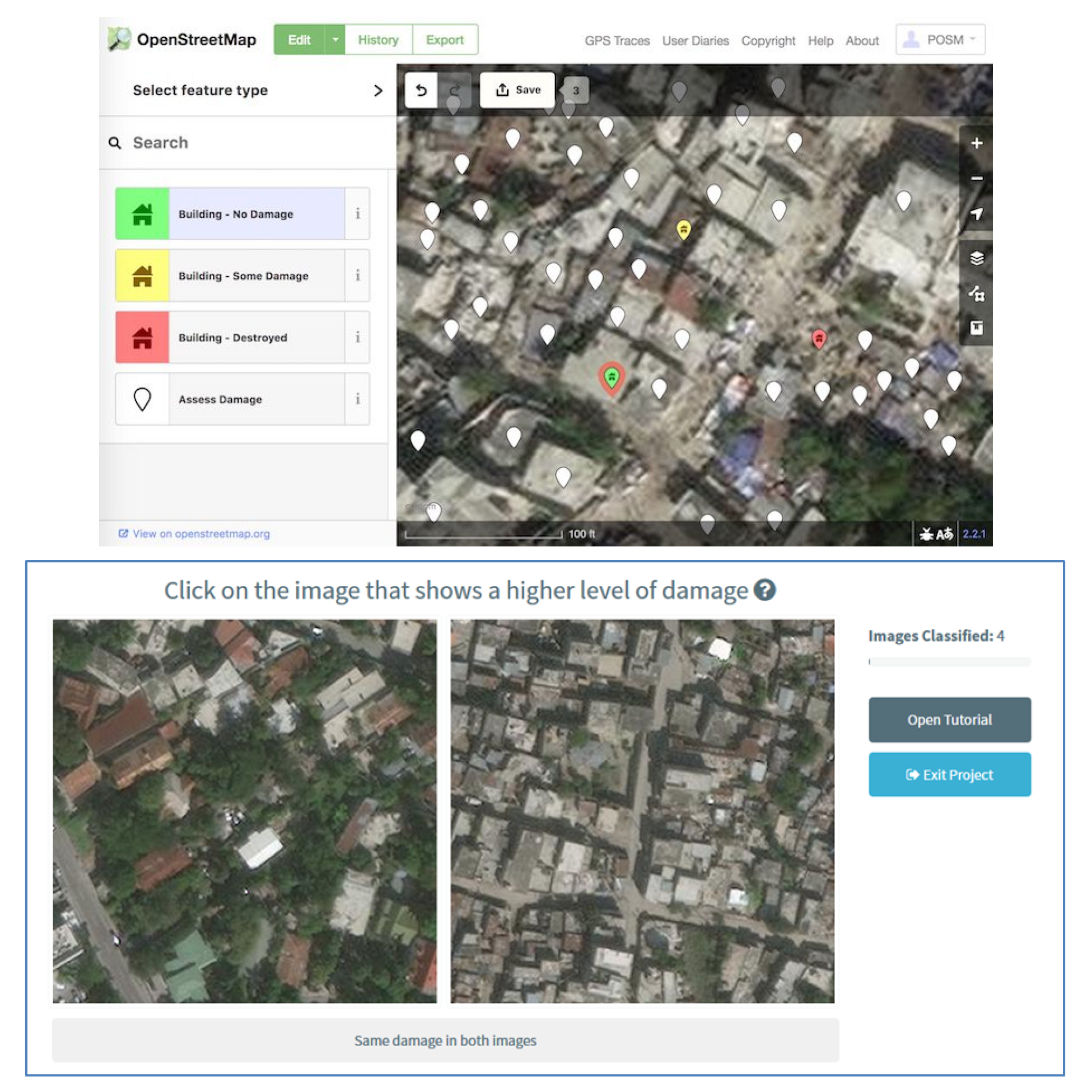
As a collaborative project between the Stanford Urban Resilience Inititative, Heidelberg University, The World Bank, and Humanitarian OpenStreetMap Team, we tested test three approaches to crowdsourcing post-earthquake building damage using 50cm resolution satellite imagery from the 2010 Haiti earthquake. We also interviewed disaster responders about how they might use this information after a disaster.
Core team members
Project partners/funders
Project content
An overview of the development of using remote sensing for crowdsourcec building damage assessment and an evaluation of the uses of this information.
The Development and Uses of Crowdsourced Building Damage Information based on Remote-Sensing

Sabine Loos
Assistant Professor
Comparing three approaches to crowdsource building damage information using satellite imagery after a disaster.
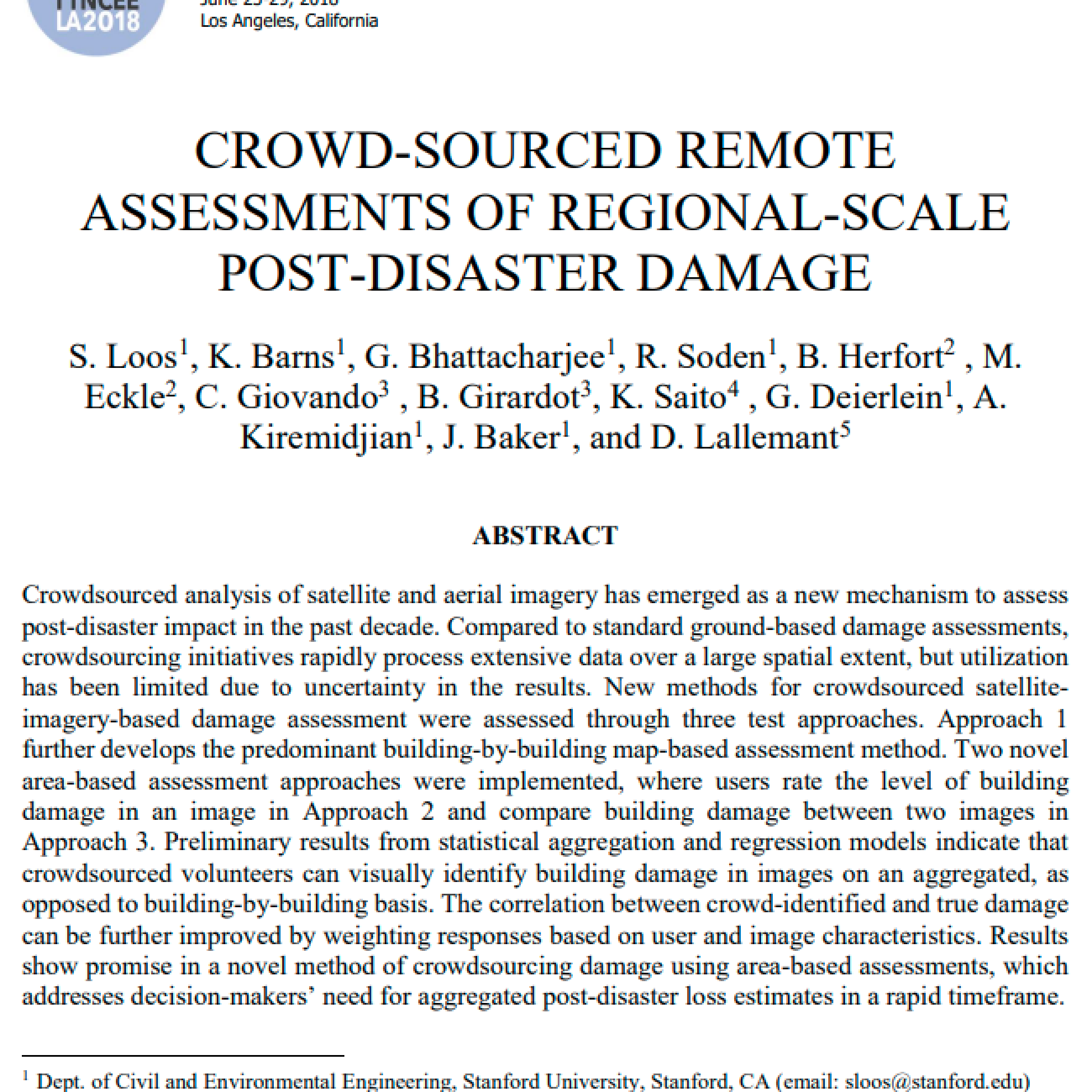
Crowd-sourced remote assessments of regional-scale post-disaster damage
Sabine Loos
Assistant Professor
Send us an email sloos [at] umich [dot] edu
We are looking for new team members and partners!
Office Address: GG Brown, 2350 Hayward St, Ann Arbor, MI 48109