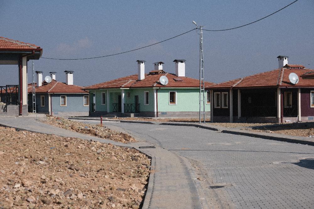
Newly built village homes in Emiroğlu, Türkiye, documented during the EERI-SSEER recovery reconnaissance 20 months after the 2023 Kahramanmaraş earthquakes.
After major earthquakes, reconnaissance teams rapidly gather and synthesize information on the hazard, damage, and human impacts so that lessons are captured before they are lost. Our lab contributes to reconnaissance efforts led by the Earthquake Engineering Research Institute (EERI), including the Virtual Earthquake Reconnaissance Team (VERT), which compiles early observations within days of an event, and longer-term field missions that document how communities and organizations recover in the months and years that follow.
Core team members
Project content
The EERI Virtual Earthquake Reconnaissance Team's rapid Phase 1 report compiling early observations of hazards, impacts, and response following the 2026 Ende, Indonesia earthquake.
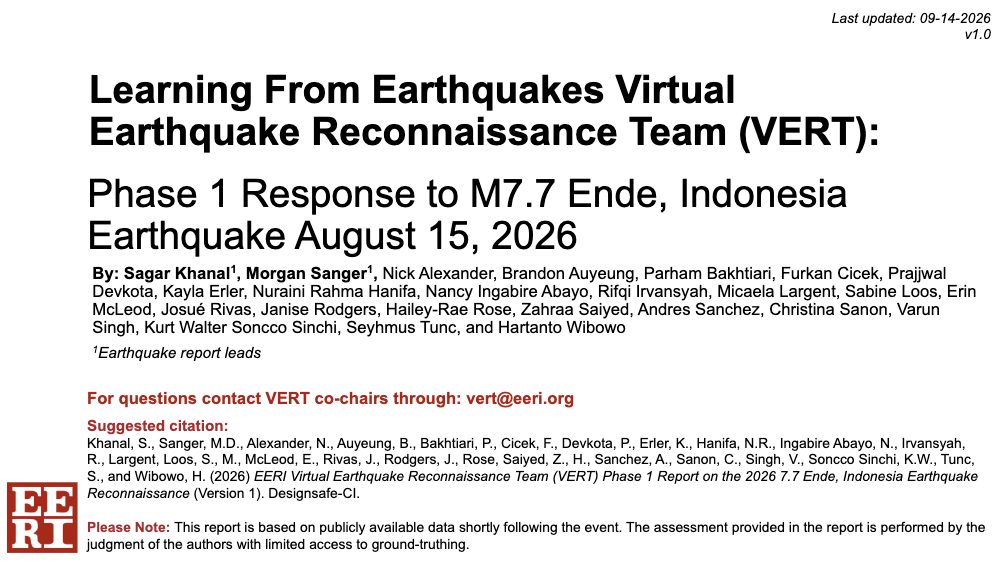
EERI Virtual Earthquake Reconnaissance Team (VERT): Phase 1 Response to M7.7 Ende, Indonesia Earthquake, August 15, 2026

A living story map compiling early scientific assessments of the August 26, 2026 debris flood along Nepal's Lhende Khola–Bhote Koshi/Trishuli river system. AIDD Labs authored the section on its societal impacts.
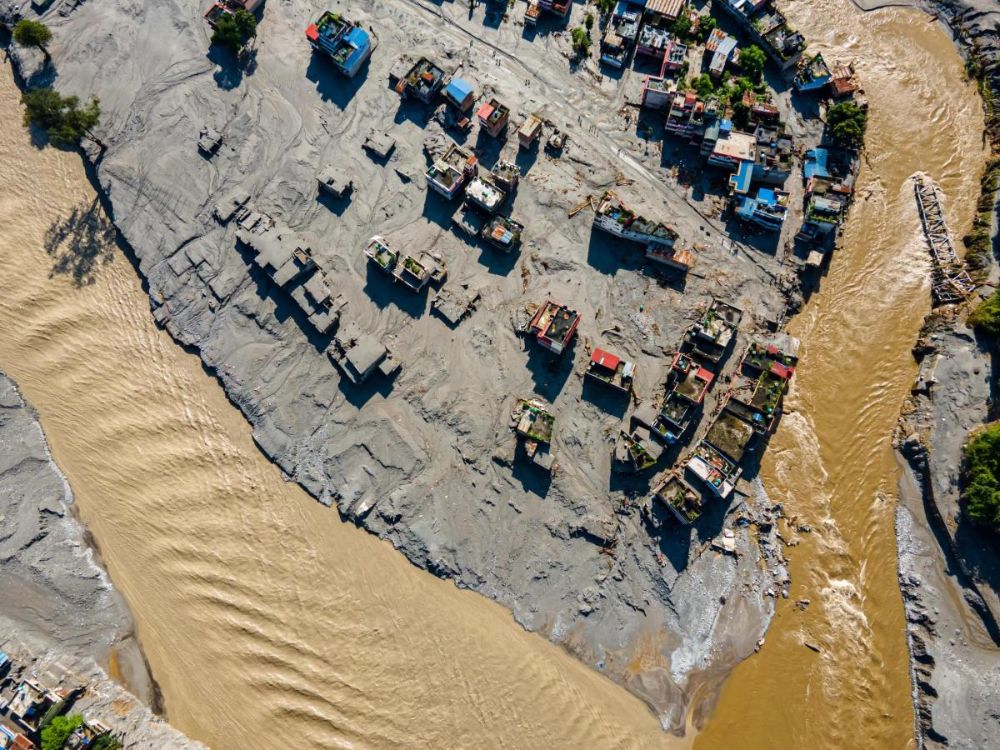
August 2026 Nepal Trishuli Flood
The EERI Virtual Earthquake Reconnaissance Team's rapid Phase 1 report compiling early observations of hazards, impacts, and response following the 2026 San José del Palmar, Colombia earthquake.
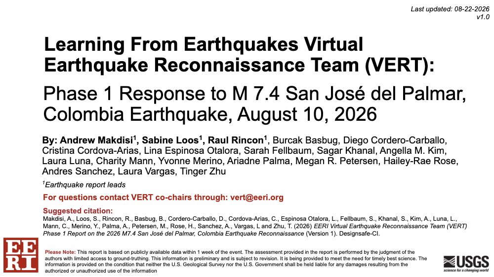
EERI Virtual Earthquake Reconnaissance Team (VERT) Phase 1 Report on the 2026 San José del Palmar, Colombia Earthquake
The EERI Virtual Earthquake Reconnaissance Team's rapid Phase 1 report compiling early observations of hazards, impacts, and response following the 2026 Uto, Japan earthquake.
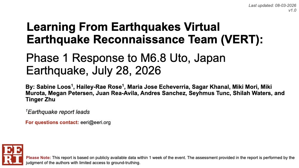
EERI Virtual Earthquake Reconnaissance Team (VERT) Phase 1 Report on the 2026 Uto, Japan Earthquake
The EERI Virtual Earthquake Reconnaissance Team's rapid Phase 1 report compiling early observations of hazards, impacts, and response following the 2026 Yumare, Venezuela earthquakes.
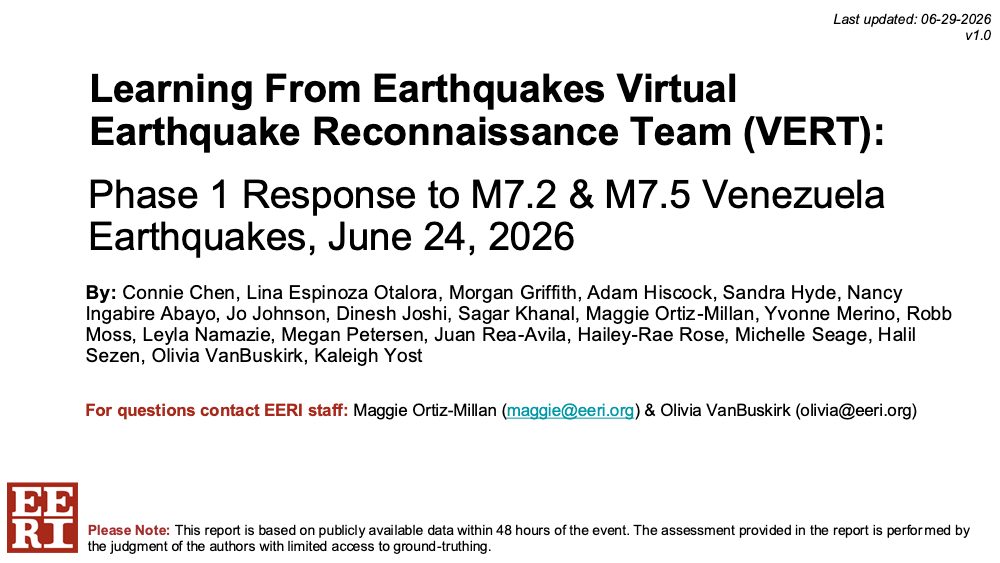
EERI Virtual Earthquake Reconnaissance Team (VERT) Phase 1 Report on the 2026 Yumare, Venezuela Earthquakes
The EERI Virtual Earthquake Reconnaissance Team's rapid Phase 1 report compiling early observations of hazards, impacts, and response following the 2026 Mindanao, Philippines earthquake.
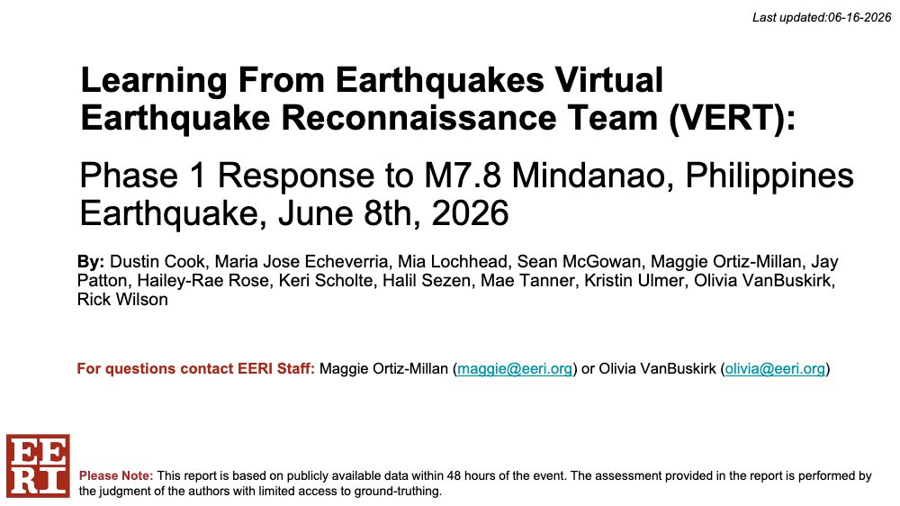
EERI Virtual Earthquake Reconnaissance Team (VERT) Phase 1 Report on the 2026 Mindanao, Philippines Earthquake
A Python command-line tool that extracts location information from field photos' metadata and outputs them in an organized file structure with an image data table and interactive map.
FieldImage: Processing, Organizing, and Mapping Field Reconnaissance Photos
Reconnaissance observations documenting the state of housing, infrastructure, and organizational recovery 20 months after the 2023 Kahramanmaraş, Türkiye earthquake sequence.
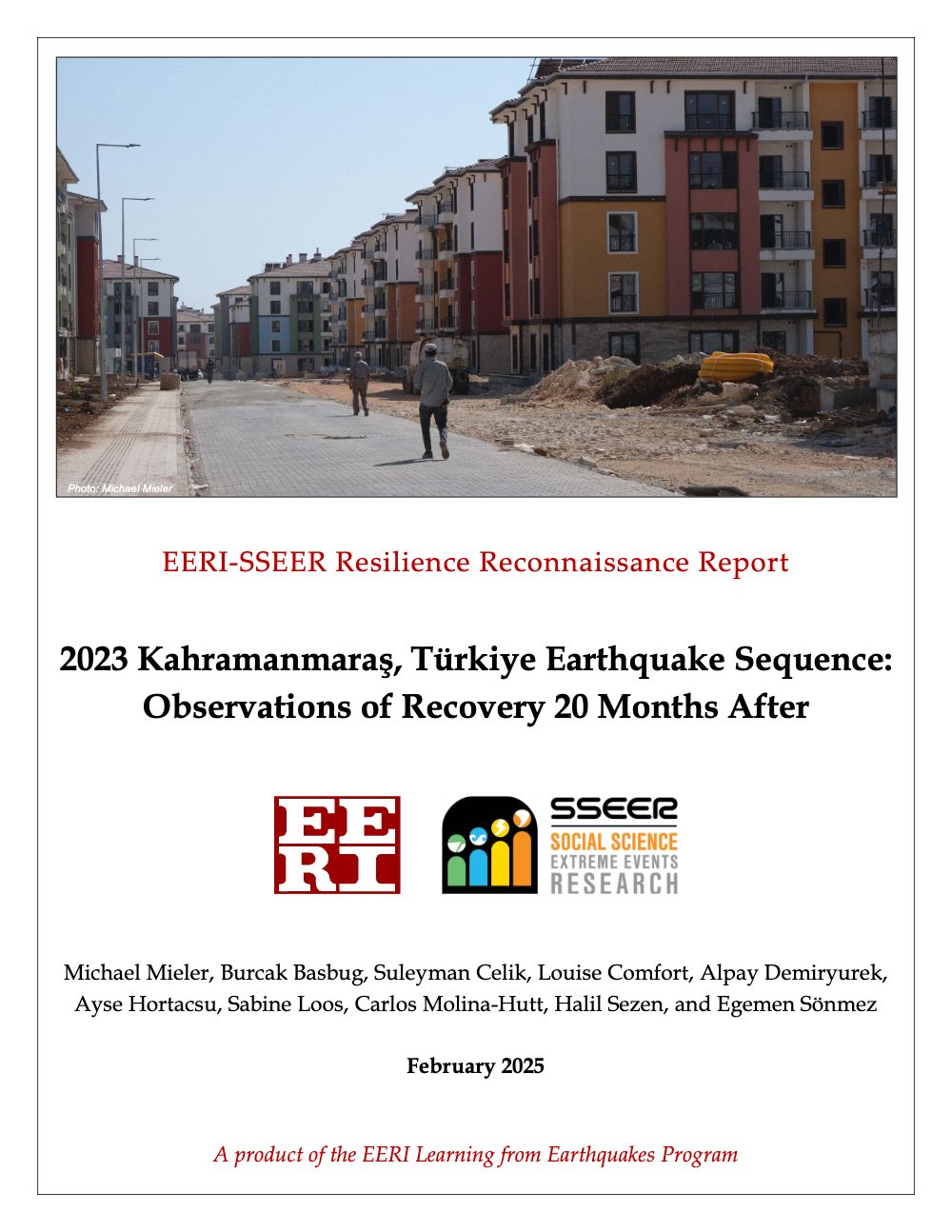
2023 Kahramanmaraş, Türkiye Earthquake Sequence: Observations of Recovery 20 Months After
Organized, geotagged photos of building recovery and reconstruction, plus notes on organizational recovery, collected 20 months after the 2023 Kahramanmaraş, Türkiye earthquake sequence.
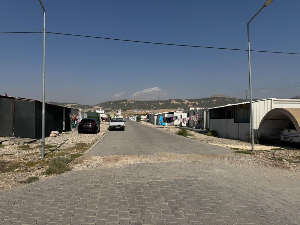
EERI-SSEER Türkiye Recovery Photos and Notes
Reviewing damage data collected after the 2021 and 2010 Haiti earthquakes, this paper offers best practices so post-earthquake damage data serve both science and response and recovery decisions.
Best Practices for Collecting and Using Post-Earthquake Damage Data: Lessons from Haiti and Other Past Events



Send us an email sloos [at] umich [dot] edu
We are looking for new team members and partners!
Office Address: GG Brown, 2350 Hayward St, Ann Arbor, MI 48109