From remote sensing to crowdsourcing, an overwhelming amount of building damage data is produced after disasters. While this amount of data signifies impressive technological progress, it does not necessarily mean that all building damage data is usable for post-earthquake decision-making. In fact, too much information can be overwhelming to disaster responders who are making decisions in a fast-paced response environment.
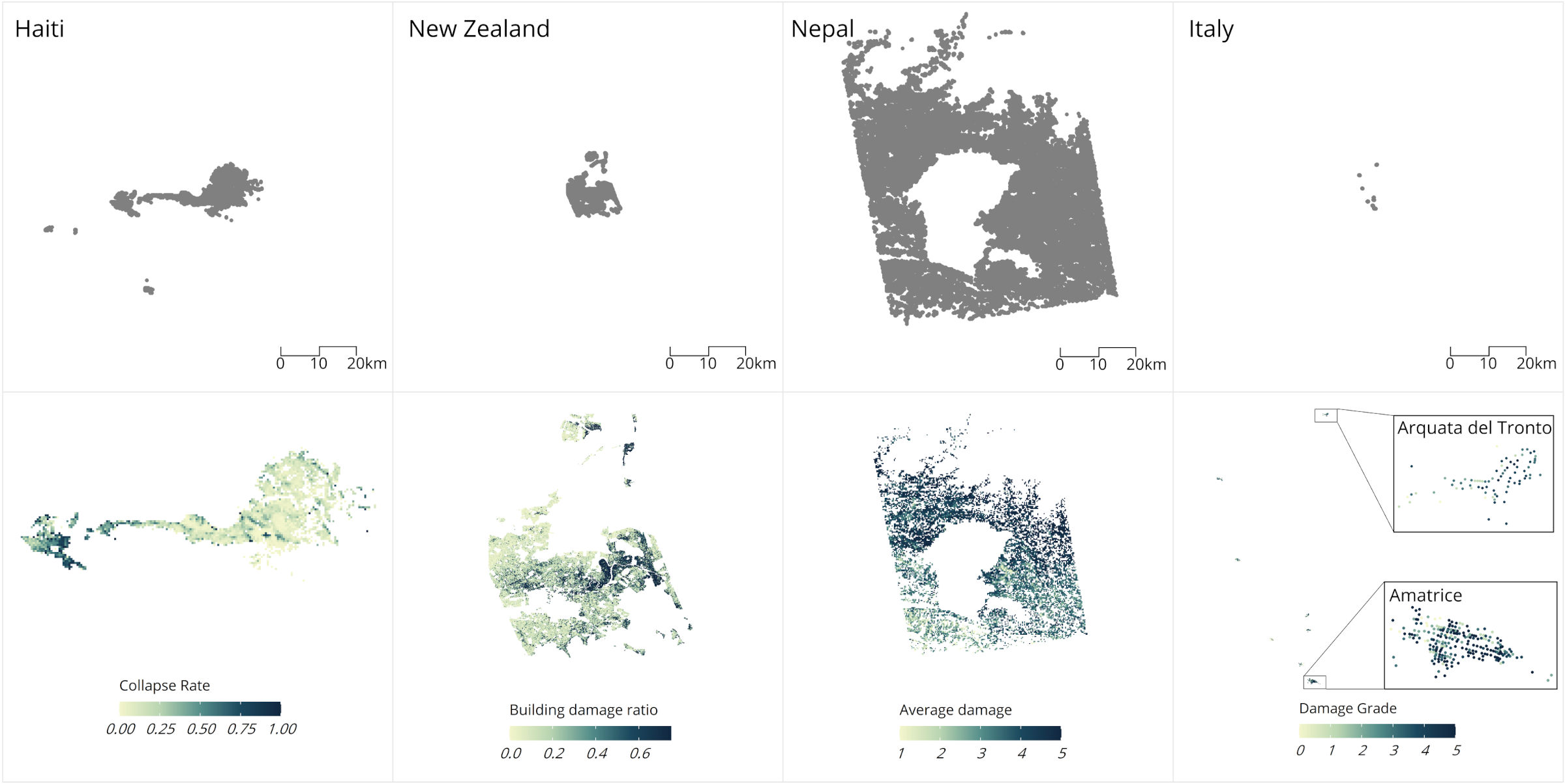
We have applied geostatistical methods to integrate forecasts and remote sensing-derived estimates of damage with a limited sample of field surveys to rapidly estimate building damage after disasters. These methods were originally tested using real data from the 2015 Nepal Earthquake, and we have expanded testing to three additional events, including the 2010 Haiti Earthquake, February 2011 Christchurch, New Zealand Earthquake, and the 2016 Central Italy earthquakes. By developing and evaluating these methods using real data from earthquakes that occurred in a wide range of contexts, we are able to show that data integration can lead to more accurate building damage estimates that are flexible to different patterns of building damage and varying sources of data availability.
Project content
Evaluating how effective data integration for damage estimation with different data sources across different contexts.
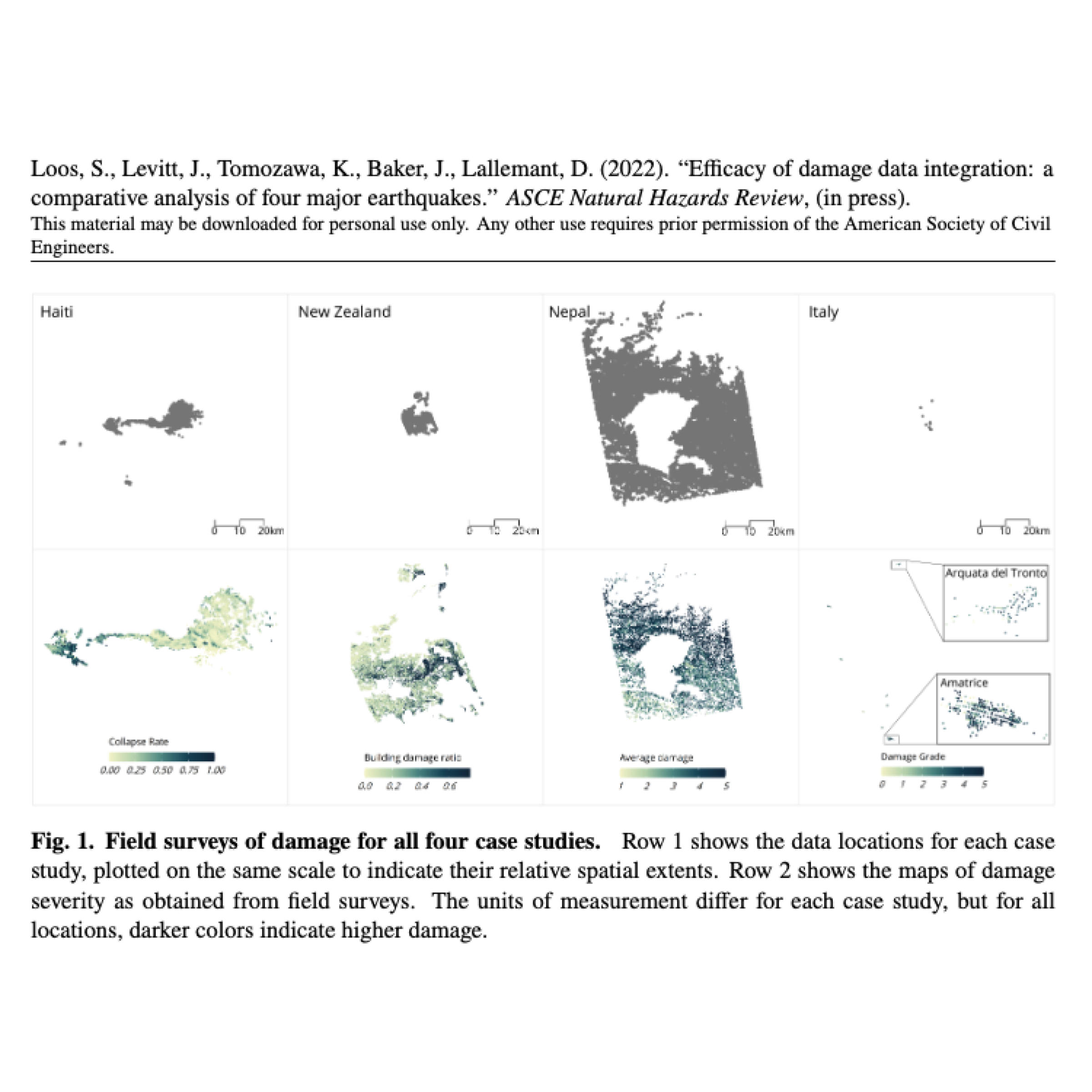
Efficacy of damage data integration: a comparative analysis of four major earthquakes
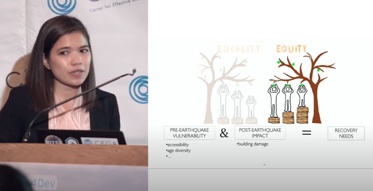
In this talk, Sabine presents on three main examples of designing earthquake information to be more actionable by centering user needs and more equitable by prioritizing vulnerable populations.
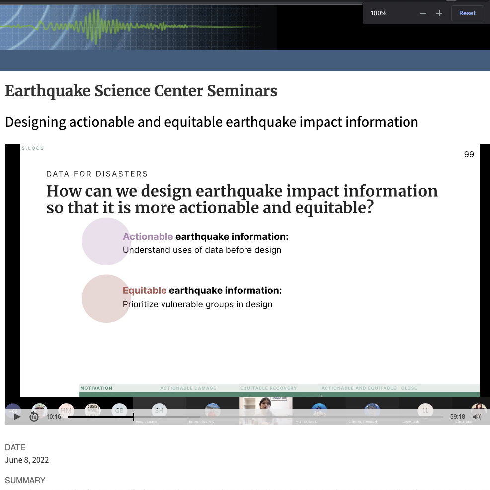
Designing actionable and equitable earthquake impact information
Code to accompany Efficacy of Damage Data Integration: A Comparative Analysis of Four Major Earthquakes published in Natural Hazards Review
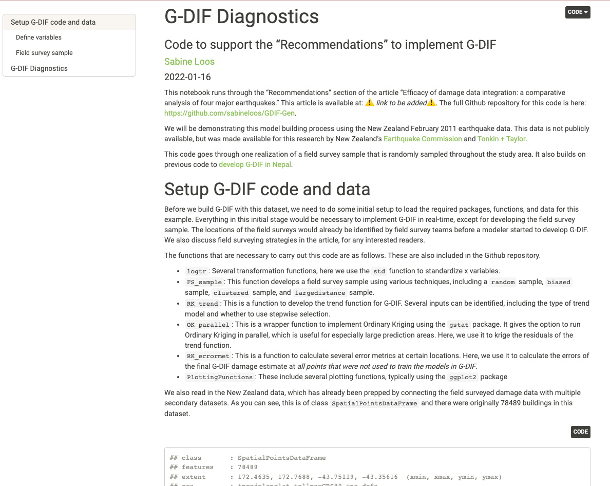
Geostatistical Data Integration Framework Diagnostics Software
Code to accompany G-DIF: A geospatial data integration framework to rapidly estimate post-earthquake damage published in Earthquake Spectra
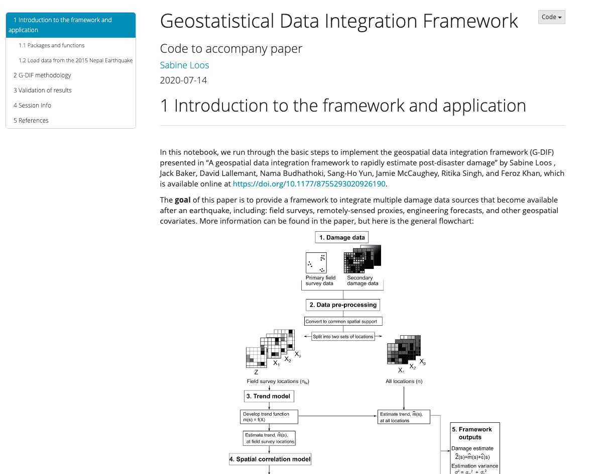
Geostatistical Data Integration Framework Software
An overview of the project for supporting equitable recovery through impact assessments.
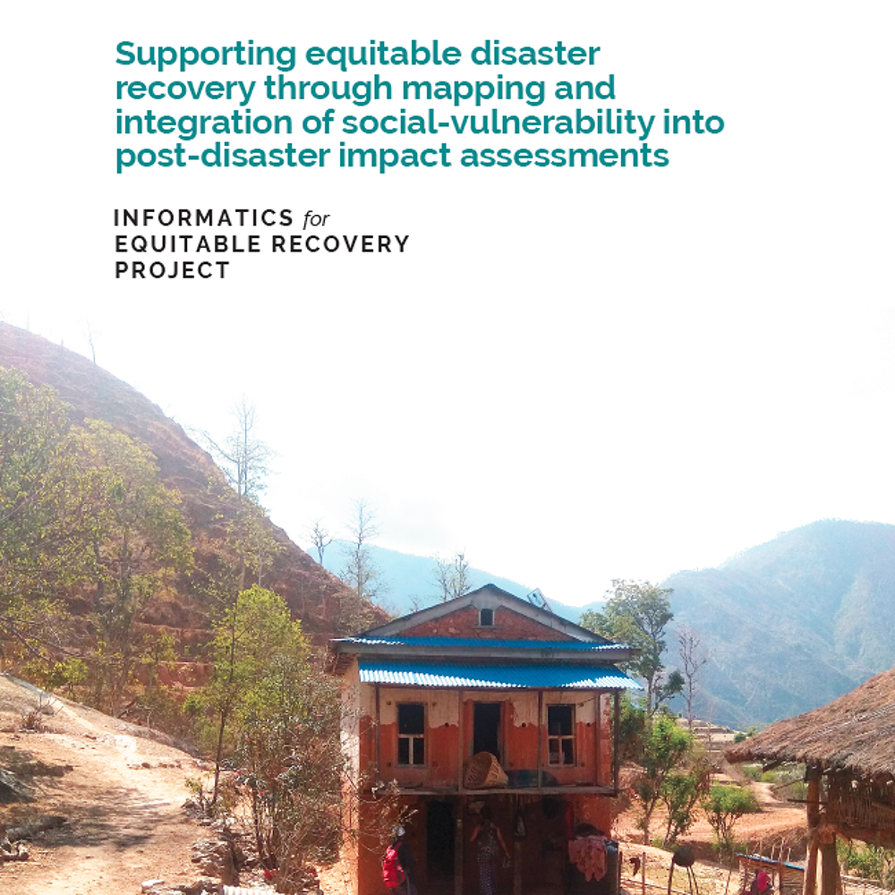
Informatics for equitable recovery: supporting equitable disaster recovery through mapping and integration of social vulnerability into post-disaster impact assessments
A framework that employs geostatistical methods to combine multiple sources of building damage data into one estimate.
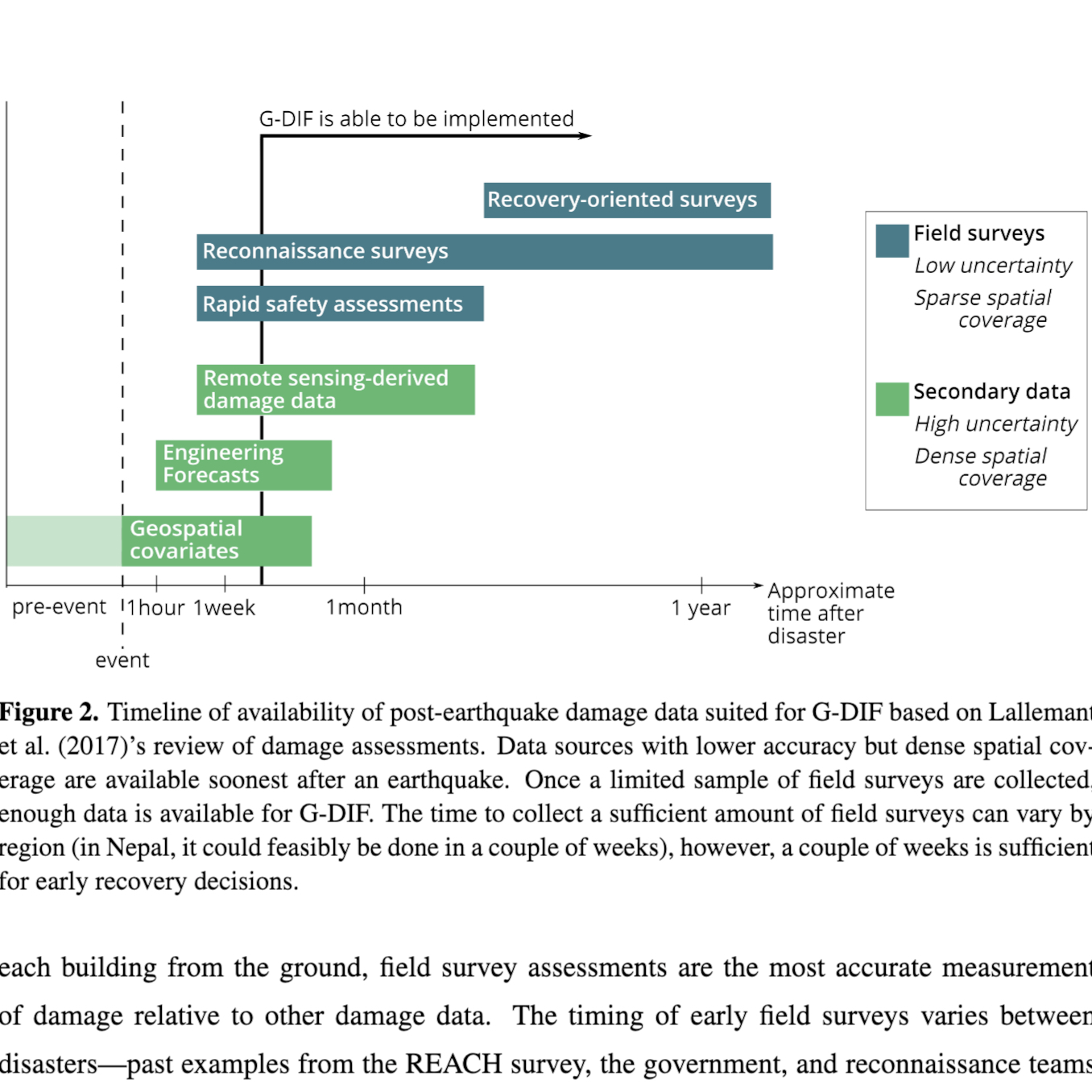
G-DIF: A Geospatial Data Integration Framework to Rapidly Estimate Post-Earthquake Damage
Sabine Loos presents on her research on the rapid integration of post-disaster data sources as a basis for impact estimation for recovery planning at our 2nd annual Geospatial Analysis for International Development (Geo4Dev) conference.
