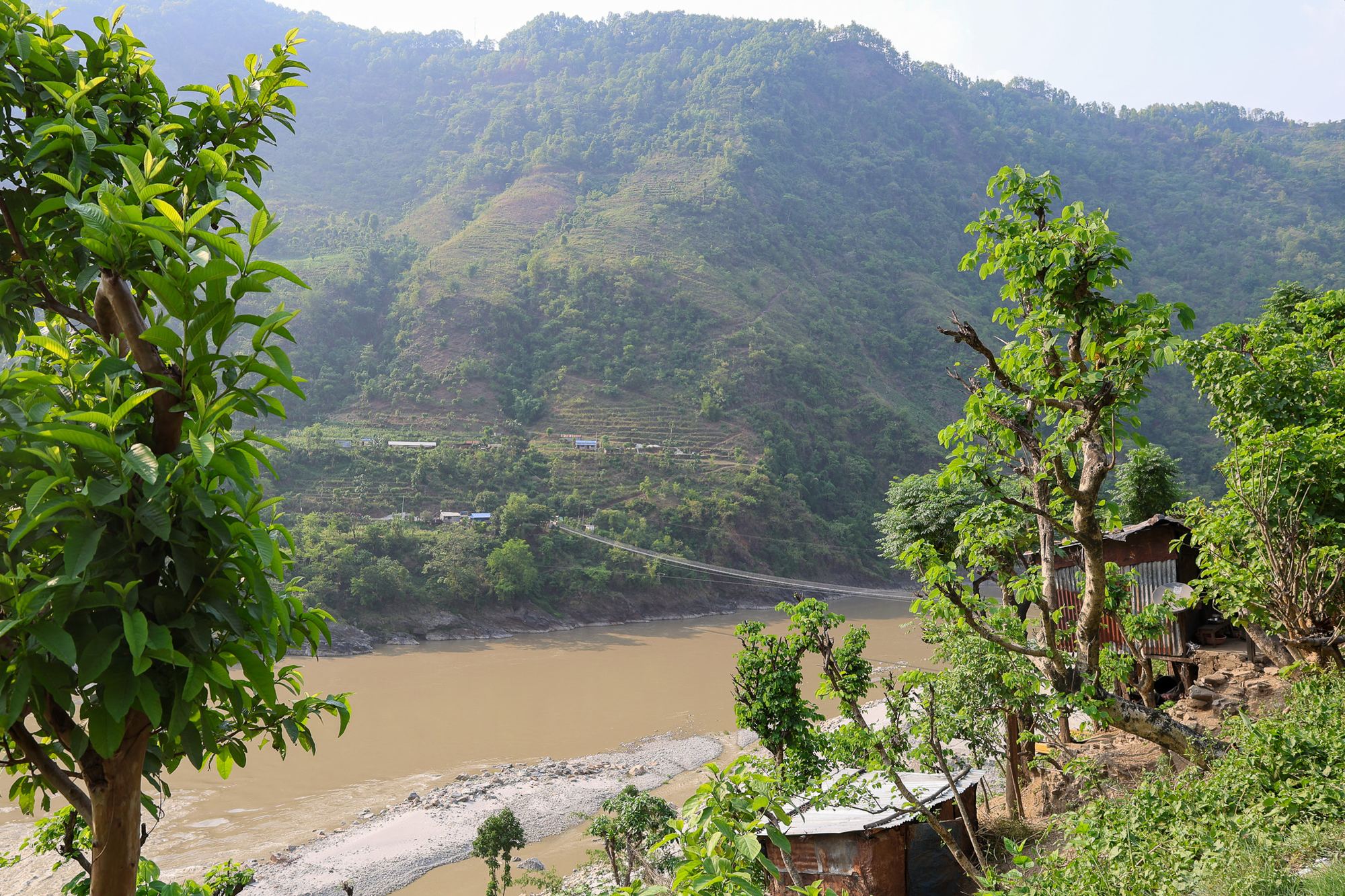
A foot bridge crossing a river below mountain terrain at risk to landslides in Nepal.
Access to essential services is increasingly recognized as a key indicator of disaster impacts and resilience, yet existing accessibility models are often designed for road-network-dominated environments and do not adequately represent the multi-modal, off-network travel common in developing countries and rural mountainous regions.
This project develops a flexible and transferable framework for quantifying disaster-induced disruptions in access to essential services in complex travel environments. The framework integrates friction-surface modeling with cost-distance analysis to estimate pre- and post-disaster accessibility and directly quantify disaster-induced access disruption using primarily publicly available datasets, making it suitable for data-scarce settings.
We demonstrate the framework through a case study of hospital accessibility following the landslides triggered by the 2015 Gorkha earthquake in Nepal. Earthquake-triggered landslides substantially increased travel times for remote mountainous communities that already experienced limited baseline access to healthcare, particularly those dependent on narrow valley transportation corridors, while much of the overall population experienced relatively small changes in access.
By combining spatial accessibility maps with population-level analyses, the framework identifies both where disaster-induced accessibility disruption is greatest and which populations experience the greatest loss of access. By operationalizing access disruption as a disaster impact metric, it supports disaster risk assessment, preparedness, emergency response, and resilience planning across diverse geographic settings, hazards, and essential services.
Core team members

Send us an email sloos [at] umich [dot] edu
We are looking for new team members and partners!
Office Address: GG Brown, 2350 Hayward St, Ann Arbor, MI 48109